|

Home
Roadklahoma Links:
Home
Terminus Page
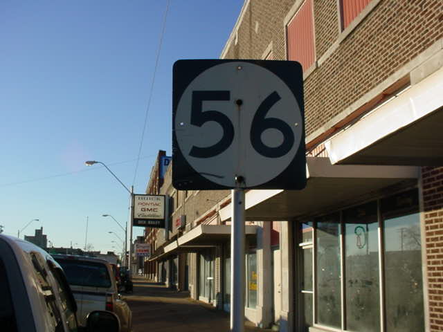
OK 56 Page
Intersecting Highways:
Interstate 40
U.S. 62
U.S. 75
U.S. 270
U.S. 377
OK 3E
OK 9
OK 27
OK 39
OK 48
OK 59
OK 99
OK 99A (N)
Latest Updates
Interstate
Highways
U.S. Highways
State Highway
Terminus Gallery
E-mail OKHighways.com
(Spam filter in effect: Use @ in place of #) |
|
OKHighways.com
Terminus Gallery |
| |
|
 |
 |
Highway Review:
OK 56 is an almost 90-mile long highway that runs from the
eastern terminus of OK 39 and U.S. 377/OK 3W/99 several miles
north of Ada to U.S. 75 in Okmulgee. For its distance, it doesn't
see too many other highways. Its first 23 miles have no highway
intersections, and neither do its final 34 miles.
As previously stated, OK 56 begins
at the same intersection as OK 39's eastern terminus is located
at U.S. 377/OK 3W/99 just north of the Canadian River. OK 56
heads east, then north towards Wewoka, where it shares two miles
with Business U.S. 270. It also sees OK 59's eastern terminus
while duplexed with the old routing of U.S. 270. OK 48 intersects
OK 99A in the town of Cromwell, and intersects Interstate 40 less
than three miles later. After crossing the interstate, OK 56
takes a mostly easterly track for several miles before meeting
U.S. 62/OK 27 in Okemah, where it heads north for a couple blocks
before heading east where U.S. 62 heads west and OK 27 has its
northern terminus. After leaving Okemah behind, OK 56 winds its
way near the Okmulgee State Park and the Okmlugee State Game
Management Area, and finds its northern terminus as U.S. 75 in
Okmulgee. A Loop 56 route exists between U.S. 75 and U.S. 62,
bypassing Okmulgee on its northern and eastern sides.
Highway Information:
Distance: 86.7 miles
Counties traveled through: Seminole, Okfuskee, Okmulgee
Highway intersections: U.S. 377/OK 3E/39/99 (Mile 0.0), U.S.
270/Bus. U.S. 270 (Mile 23.1), OK 59 (Mile 24.2), Bus. U.S. 270
(Mile 25.1), OK 9 (Mile 30.5), OK 99A (Mile 38.6), Interstate 40
(Mile 41.2), OK 48 (Mile 47.2), U.S. 62/OK 27 (Mile 51.8), U.S.
62/OK 27 (Mile 52.1), U.S. 75 (Mile 86.7)
Highway duplexes: Bus. U.S. 270 (Miles 23.1-25.1, 2.0 miles),
U.S. 62/OK 27 (Miles 51.8-52.1, 0.3 miles)
SOUTHERN
TERMINUS
U.S. 377/OK
3E/39/99
 |
"END OK 56" sign as
OK 56 South nears its end at
U.S. 377/OK 3E/OK 99. (Photo taken 5/31/04) |
 |
OK 56
South at U.S. 377/OK 3E/OK 99. OK 39
West begins straight ahead. (Photo taken 5/31/04) |
 |
OK 56
North assurance shield just east of U.S.
377/OK 3E/OK 99. Motorists will enter the town
of Sasakwa in 10 miles. (Photo taken 5/31/04) |
 |
U.S.
377/OK 99 North/OK 3E West at OK 39
West/OK 56 North. (Photo taken 5/31/04) |
 |
OK 39
East at U.S. 377/OK 3E/OK 99. Continuing
straight will put motorists onto the beginning of
OK 56 North. (Photo taken 5/31/04) |
OTHER
HIGHWAY PICTURES
 |
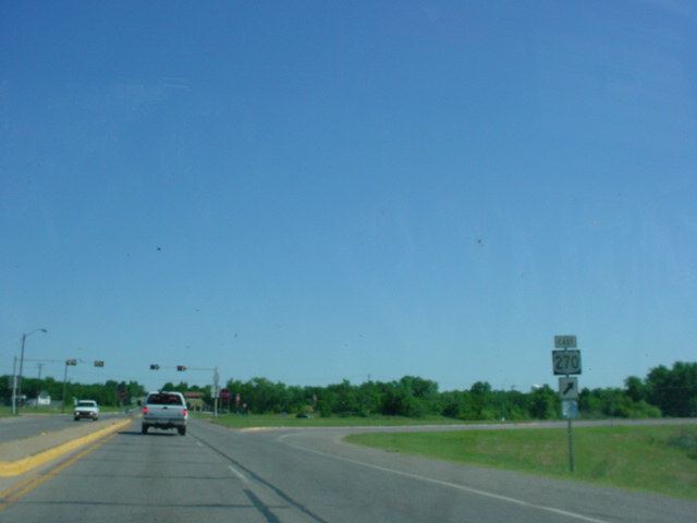
OK
56 North at U.S. 270 East near
Wewoka. (Photo
taken 5/31/04) |
 |
OK
56 North at U.S. 270 West/Business
U.S. 270. (Photo
taken 5/31/04) |
 |
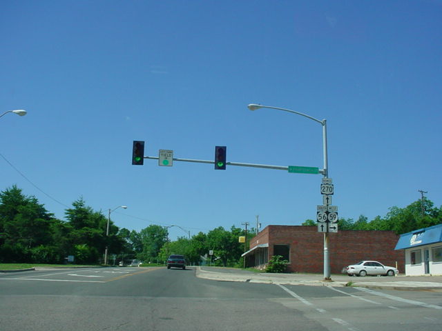
OK
56 North/Business U.S. 270 West at
OK 59 West in
Wewoka. (Photo taken 5/31/04) |
 |
OK
56 South/Business U.S. 270 East at
OK 59 West.
(Photo taken 5/31/04) |
 |
U.S. 62 East/OK 27/OK 56
South at OK
56 South in Okemah.
Interstate 40 is less than a mile away, thus the
"TO" mention is
made. (Photo taken 1/7/03) |
 |
U.S. 62 West/OK 27/OK 56
North at OK
56 North in Okemah.
This
is also the northern terminus of OK 27; the end sign for
that
route
is located just before this intersection. (Photo
taken
1/7/03) |
NORTHERN
TERMINUS
U.S. 75, Okmulgee
 |
OK 56 North at U.S. 75 in
Okmulgee. There is no end sign at
this terminus. U.S. 75 North says that OK 56 continues
north,
but there is no indication from OK 56 North that it
continues,
and there is an end sign at Loop 56's western terminus
north
of this stoplight, so it's safe to assume that this is
the end of
OK 56. (Photo taken 1/7/03) |
 |
The first
OK 56 (West) assurance shield,
located about 1/3
mile to
the west of U.S. 75. (Photo taken 1/7/03) |
 |
U.S. 75 South at OK 56 South in
Okmulgee. (Photo taken
1/7/03) |
|