|

Home
Roadklahoma Links:
Home
Terminus Page
OK 63 Page
Intersecting Highways:
U.S. 69
U.S. 259
U.S. 270
U.S. 271
OK 1
OK 2 (S)
OK 63A
OK 82 (S)
Latest Updates
Interstate
Highways
U.S. Highways
State Highway
Terminus Gallery
E-mail OKHighways.com
(Spam filter in effect: Use @ in place of #) |
|
OKHighways.com
Terminus Gallery |
| |
|
 |
Highway Review:
OK 63 begins at U.S. 69 in Kiowa. From there, it goes through
Hartshorne, Talihina, and Big Cedar. Almost half of the highway is spent
duplexed with OK 1, from Hartshorne to Talihina. OK 63 spends its easternmost 11
miles in the Ouachita National Forest, and changes to AR 8 when the highway
enters the Natural State.
Highway Information:
Distance: 96.7 miles
Counties traveled through: Pittsburg, Latimer, Le Flore
Highway intersections: U.S. 69 (Mile 0.0), U.S. 270/OK 1 (Mile 21.9), U.S. 270
(Mile 24.6), OK 2 (Mile 39.9), OK 2 (Mile 46.0), OK 63A (Mile 57.9), OK 82 (Mile
59.2), U.S. 271/OK 1 (Mile 59.7), U.S. 271 (Mile 60.3), U.S. 259 (Mile 85.4)
Highway duplexes: U.S. 270 (Miles 21.9-24.6, 2.7 miles), OK 1 (Miles 21.9-59.7,
37.8 miles), OK 2 (Miles 39.9-46.0, 6.1 miles), U.S. 271 (Miles 59.7-60.3, 0.6
mile)
Traffic Counts:
1,400 - OK 63 @ U.S. 69
800 - OK 63 @ U.S. 270/OK 1
10,100 - U.S. 270/OK 1/OK 63 multiplex
1,500 - OK 1/OK 63 @ OK 2 North
2,300 - OK 1/OK 2/OK 63 multiplex
2,400 - OK 1/OK 63 @ OK 63A
4,100 - OK 1/OK 63 @ OK 82
2,000 - OK 63 @ U.S. 271 South
700 - OK 63 @ U.S. 259
570 - OK 63 @ Arkansas State Line
WESTERN TERMINUS
U.S. 69, Kiowa
 |
"END OK 63" sign as
OK 63 West
nears its end at U.S. 69 in Kiowa.
(Photo taken 5/31/04) |
 |
OK 63
West at U.S. 69. (Photo
taken 5/31/04) |
 |
OK 63
East assurance shield just
east of U.S. 69. The first highway
intersection along OK 63 East is at
U.S. 270 and OK 1, 22 miles
ahead. (Photo taken 5/31/04) |
 |
U.S.
69 North at OK 63 East.
(Photo taken 5/31/04) |
 |
U.S.
69 South at OK 63 East.
(Photo taken 5/31/04) |
OTHER HIGHWAY PICTURES
 |
U.S. 270/OK 1/OK 63
West at
OK 63 West in Haileyville.
(Photo taken 6/23/04) |
 |
OK 1/OK 63
East assurance
shields just east of OK 2.
(Photo taken 6/23/04) |
 |
OK 1/OK 63
East at OK 63A
North near Talihina. OK 63A
connects to the Choctaw
Indian Hospital and to the
Oklahoma Veterans Center.
(Photo taken 6/23/04) |
 |
OK 1/OK 63
East at OK 82
North in Talihina. (Photo taken
6/23/04) |
 |
OK 1/OK 63
East at U.S.
271 North/OK 1 East in
Talihina. This is the eastern
end of the 38 mile long
OK 1/OK 63 duplex. (Photo
taken 6/23/04) |
 |
U.S. 271 South/OK 63
East
at OK 63 East in Talihina.
(Photo taken 6/23/04) |
 |
OK 63
East at U.S. 259 in
Big Cedar. OK 63 enters the
Ouachita National Forest
just ahead. (Photo taken
6/23/04) |
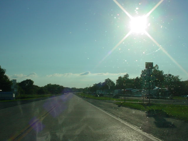
EASTERN TERMINUS
Arkansas State Line, continues
as AR 8
 |
"Welcome to Arkansas" sign as
OK 63 East ends and AR 8
East begins. (Photo taken
6/23/04) |
 |
"Welcome to Oklahoma" sign as
AR 8 West ends and OK 63
West begins. U.S. 259 is
11 miles ahead, and that is
where the first westbound
assurance shield is located.
(Photo taken 6/23/04) |
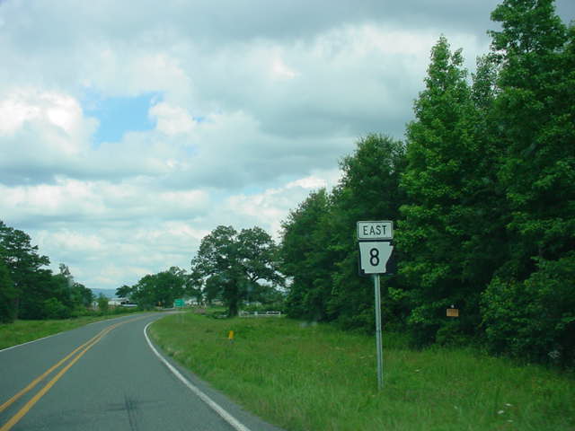
 |
AR 8
East assurance shield
just east of the state line. The
highway will enter the city of
Mena in 16 miles. (Photo
taken 6/23/04) |
|