|

Home
Roadklahoma Links:
Home
Terminus Page
OK 31 Page
Intersecting Highways:
U.S. 59
U.S. 69
U.S. 75
U.S. 270
U.S. 271
OK 1
OK 2 (S)
OK 3
OK 26
OK 31A
OK 31B
OK 48
OK 71
OK 82 (S)
OK 131
Latest Updates
Interstate
Highways
U.S. Highways
State Highway
Terminus Gallery
E-mail OKHighways.com
(Spam filter in effect: Use @ in place of #) |
|
OKHighways.com
Terminus Gallery |
| |
|
 |
Highway Review:
OK 31 connects Coalgate, McAlester, Krebs, Quinton, Kinta, and
McCurtain. The highway skirts the northern edge of the United States Army's
ammunition plant near McAlester. Two spur routes, OK 31A and OK 31B, provide
access to the towns Stuart and Olney, respectively.
Highway Information:
Distance: 132.6 miles
Counties traveled through: Coal, Pittsburg, Hughes, Haskell, Le Flore
Highway intersections: OK 48 (Mile 0.0), OK 31B (Mile 2.0), U.S. 75/OK 3 (Mile
11.5), U.S. 75/OK 3 (Mile 11.6), OK 131 (Mile 17.1), OK 31A (Mile 39.0), U.S.
270/OK 1 (Mile 60.9), U.S. 69 (Mile 62.7), U.S. 270/OK 1 (Mile 63.4), OK 71
(Mile 90.8), OK 2 (Mile 92.9), OK 2 (Mile 98.6), OK 82 (Mile 106.4), OK 26 (Mile
115.1), U.S. 59/U.S. 271 (Mile 132.6)
Highway duplexes: U.S. 75/OK 3 (Miles 11.5-11.6, 0.1 mile), U.S. 270/OK 1 (Miles
60.9-63.4, 2.5 miles), OK 2 (Miles 92.9-98.6, 5.7 miles)
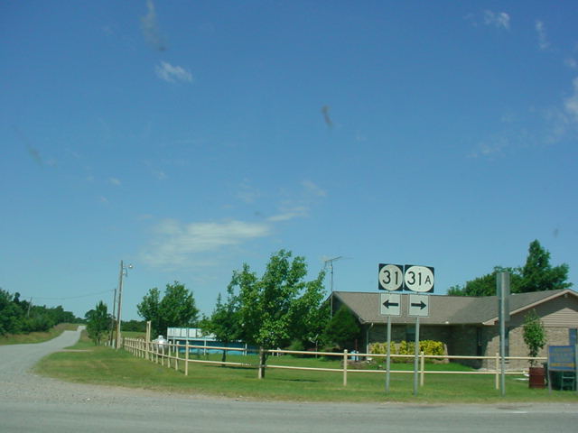
WESTERN TERMINUS
OK 48, north of Clarita
 |
"END OK 31" sign as
OK 31 West
nears its end at OK 48. (Photo
taken 5/28/04) |
 |
OK 31
West at OK 48. (Photo
taken 5/28/04) |
 |
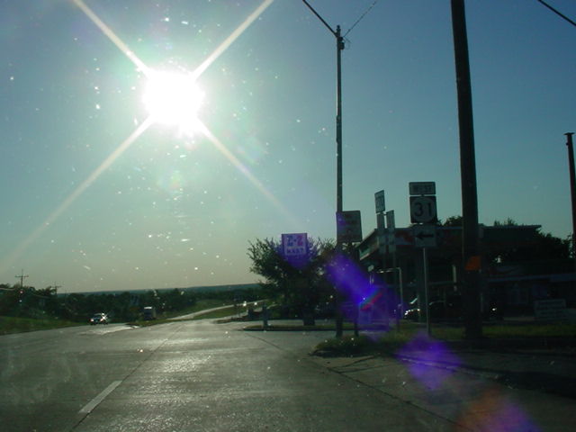
OK 31
East assurance shield
just east of OK 48. OK 31B is
two miles ahead. (Photo taken
5/28/04) |
 |
OK 48
North at OK 31 East.
OK 3 is the next major intersection,
seven miles ahead. (Photo
taken 5/28/04) |
|